Editing Map Objects
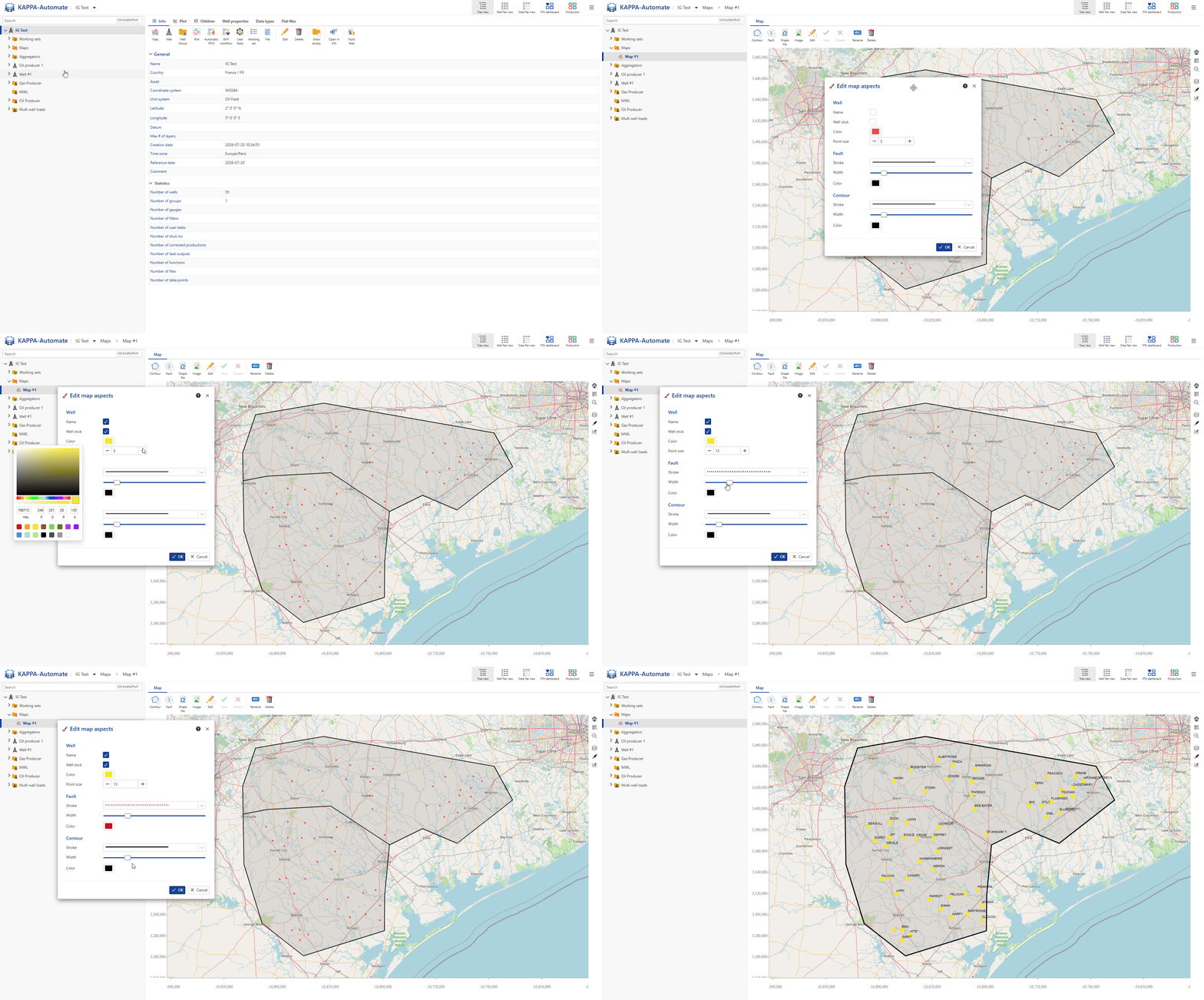
Drawing a Contour on the Map
Select the map in the field hierarchy.
Click on Contour,
 , among the options at the top of the map.
With the contour edit mode on, click anywhere on the map to add the first node.
Move the cursor to a new location to add another node.
A line segment connecting the two nodes is automatically created.
Continue this process till all the nodes are drawn.
Complete the polygon with a double click at the last node.
Multiple contours can be drawn on the map.
All steps are shown in the .gif below.
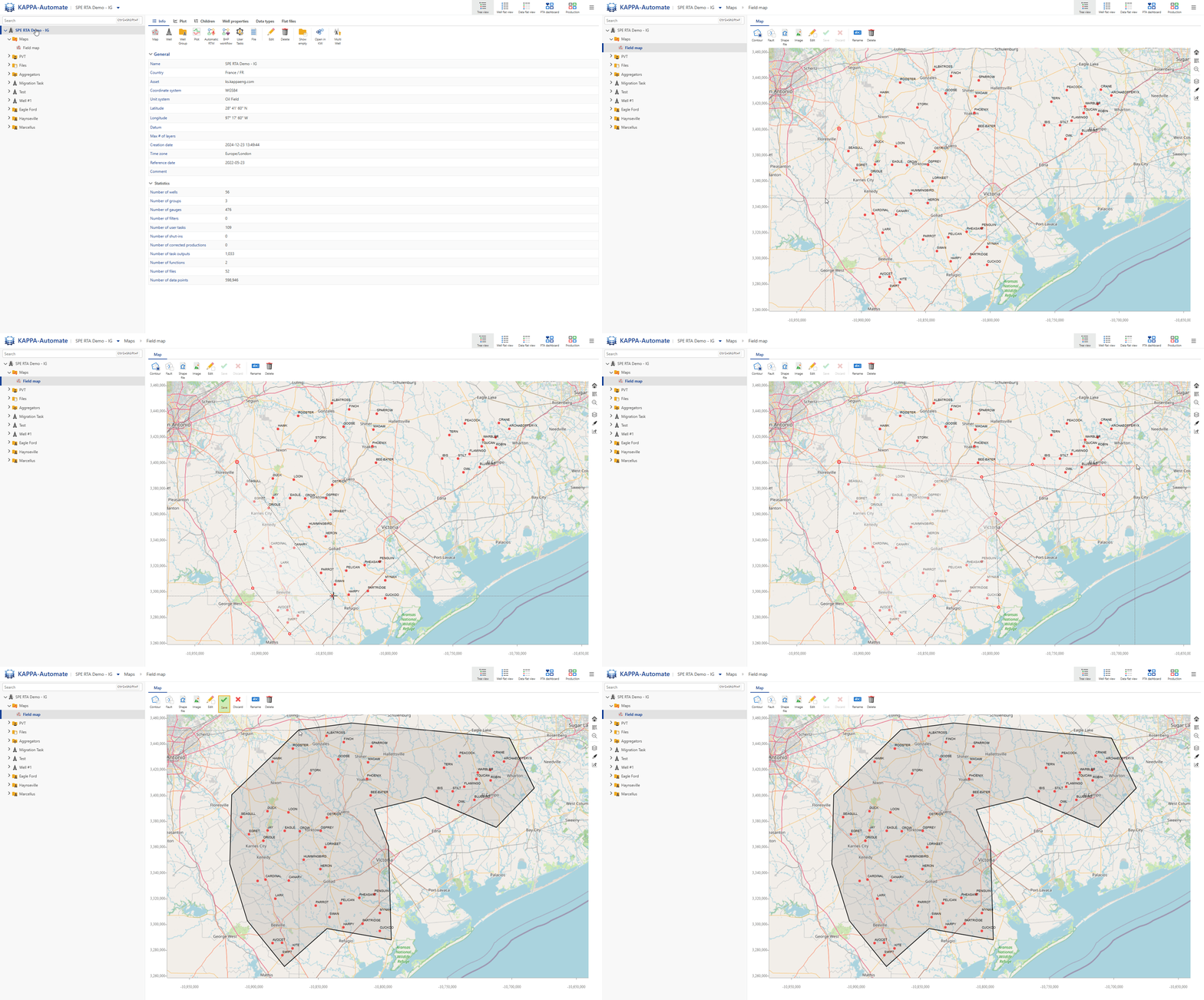
Drawing a Fault on the Map
Select the map in the field hierarchy.
Click on Fault,
 , among the options at the top of the map.
With the fault edit mode on, click anywhere on the map to add the first node.
Move the cursor to a new location to add another node.
A line segment connecting the two nodes is automatically created.
Continue this process till all the nodes are drawn.
Complete the fault definition with a double click at the last node.
Multiple faults can be drawn on the map.
All steps are shown in the .gif below.
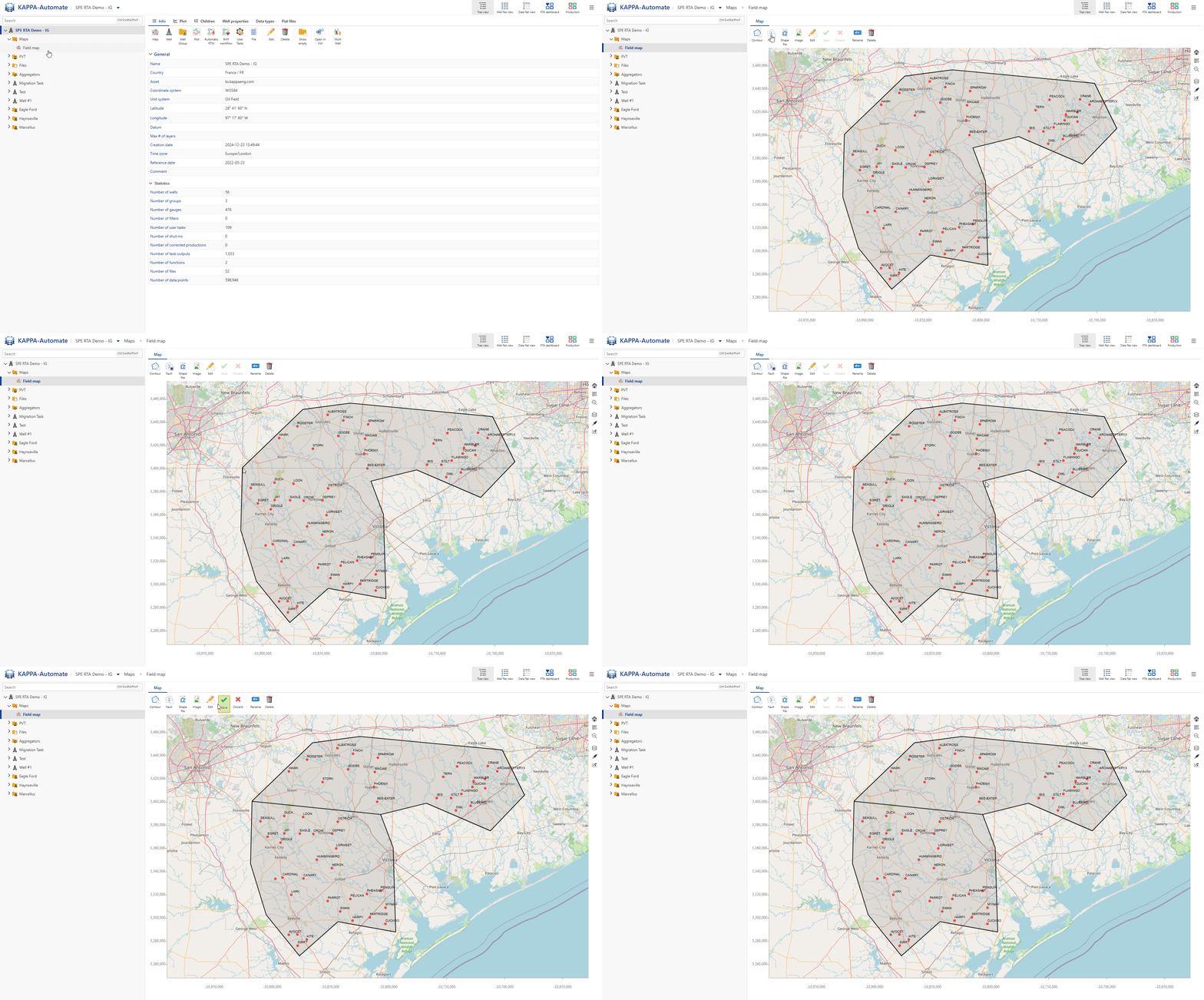
Editing a Contour / Fault on the Map
Select the map in the field hierarchy.
Click on Edit,
 , among the options at the top of the map.
With the edit mode on, click on the fault or contour to edit.
All the nodes of the selected object will be visible:
Click and move the nodes as needed to edit the contour/fault.
Once done, click on Edit again to exit the edit mode.
Click on Save,
 , to commit the changes or Discard,
  , to reject them.
All steps are shown in the .gif below.
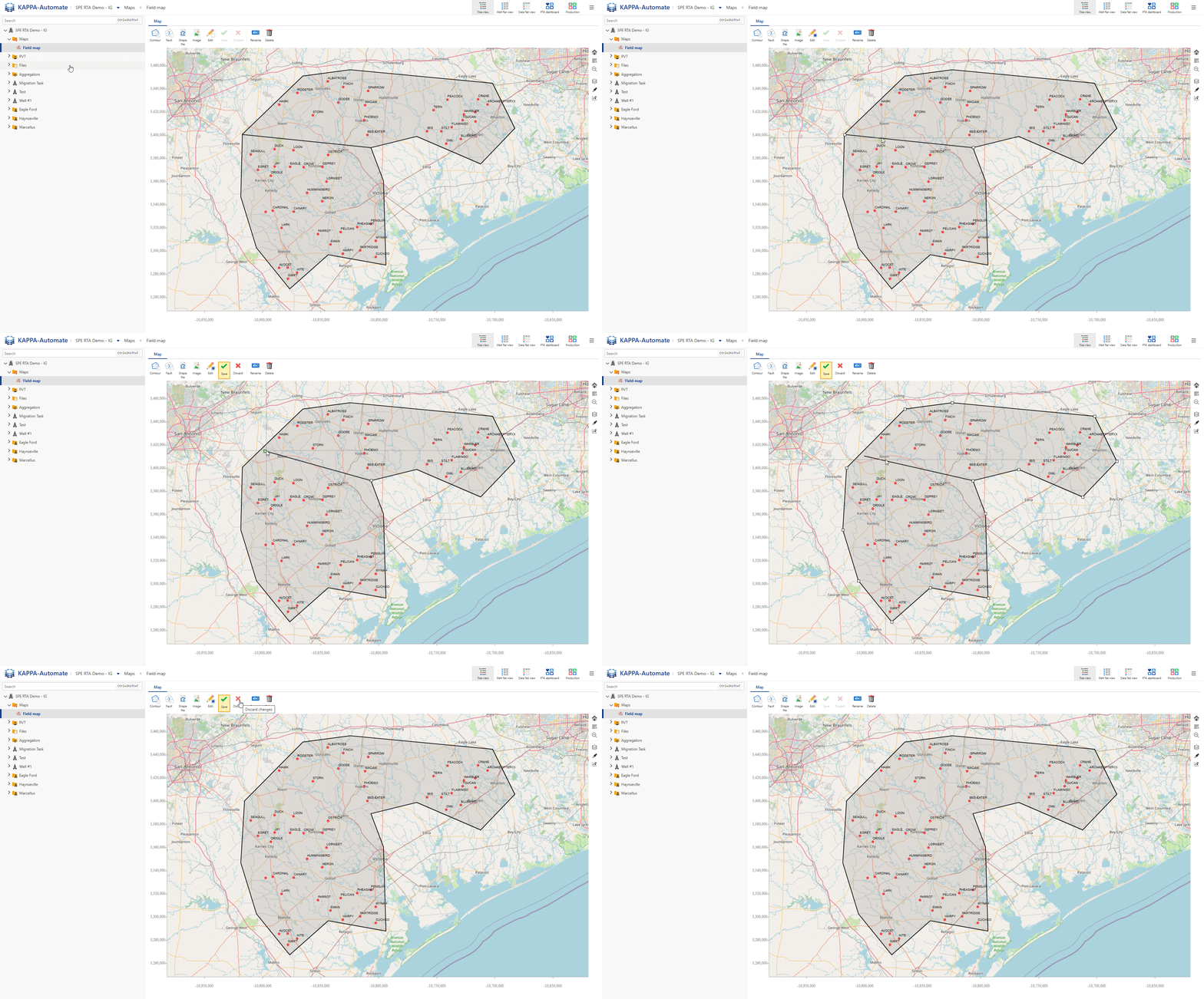
Loading a Shape File to the Map
Select the map in the field hierarchy.
Click on Shape file,
 , among the options at the top of the map.
Select the shape file to load.
Click on Open.
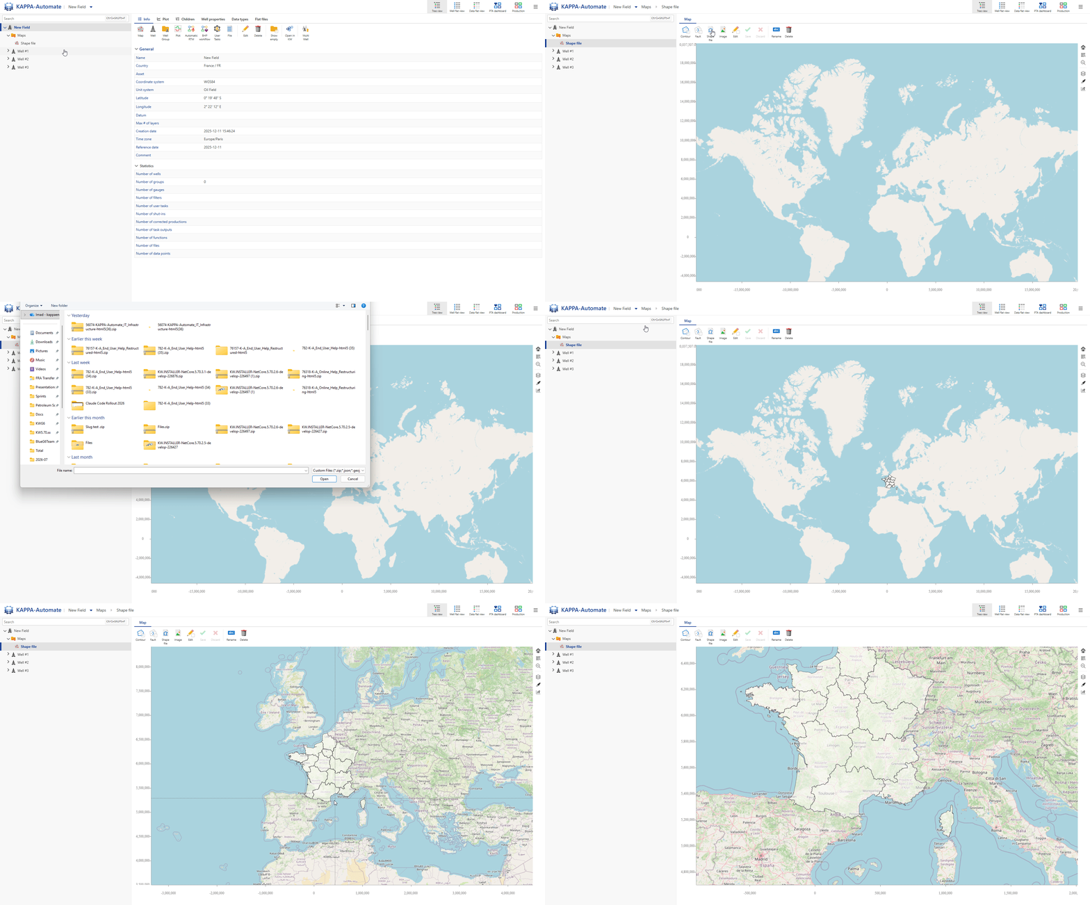
All steps are shown in the .gif below.
Loading a Georeferenced Image on the Map
Select the map in the field hierarchy.
Click on Image,
 , among the options at the top of the map.
Select the image (.png, .jpg, .jpeg formats) and associated world file (.pgw, .jgw, .tfw, .gfw, .wld formats) to load.
Optional. Specify the Coordinate Reference System (it supports UTM Zone, Pseudo Mercator and WKT).
Validate with OK.
Showing / Hiding Objects on the Map
With the map selected, click on
 in the toolbar on the right.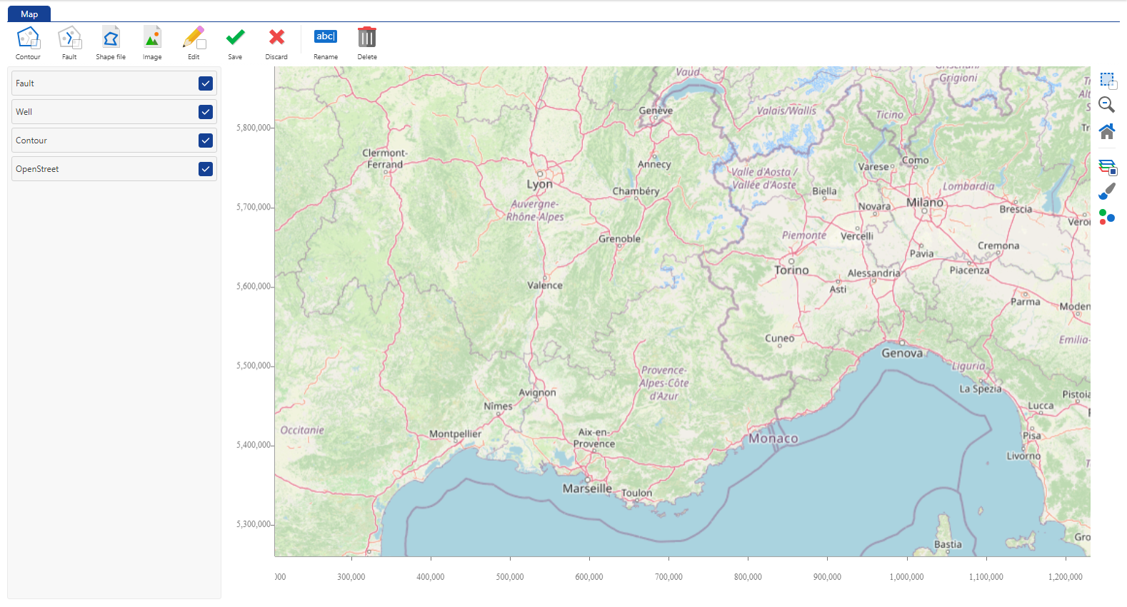
Select whether to show or hide the Faults, Wells, Contours and OpenStreet (map) view on the map.
Once done, click on
to close the layout manager.
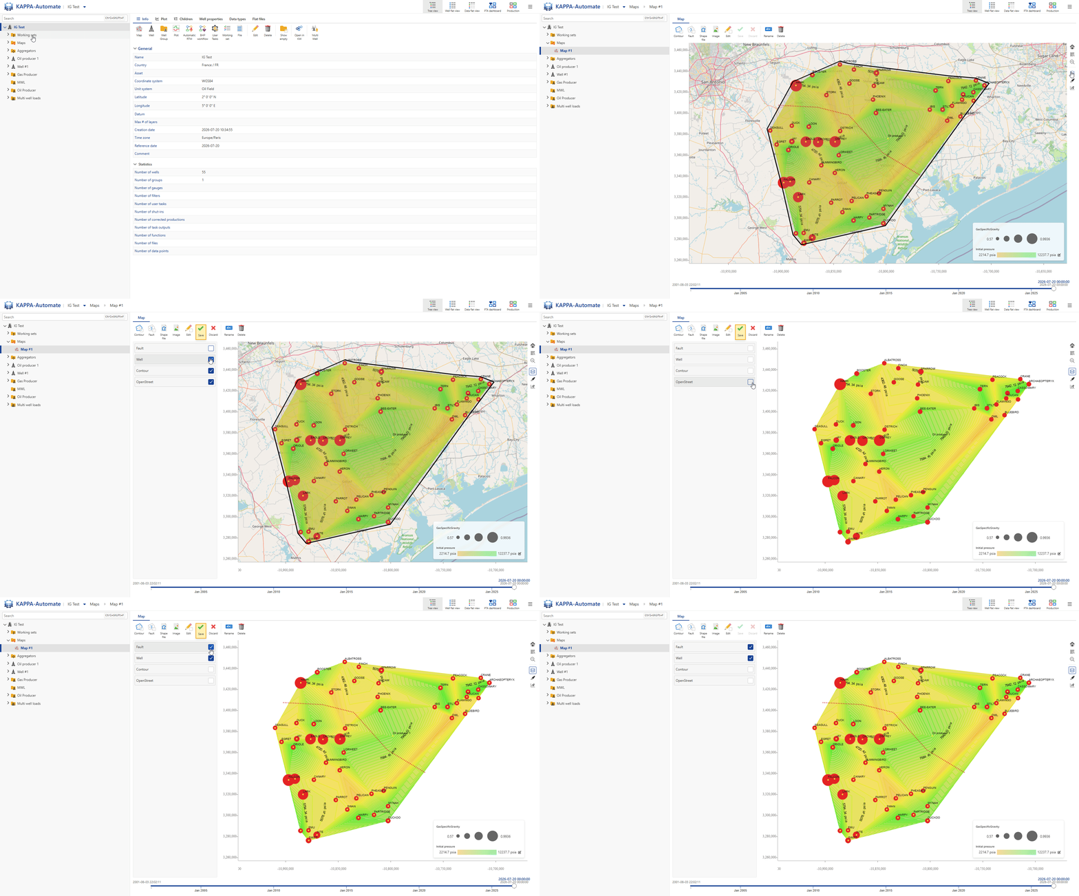
All steps are shown in the .gif below.
Editing Map Aspects
With the map selected, click on
 in the toolbar on the right.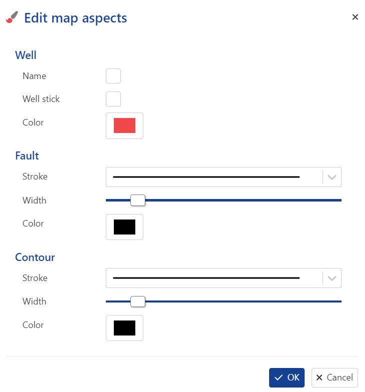
Set the aspects definition for Well, Faults and Contours.
Validate with OK.
All steps are shown in the .gif below.